 --!
--!
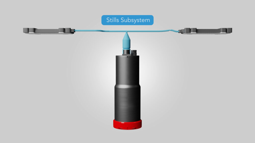
SUBSEA IMAGING INSPECTION SYSTEM
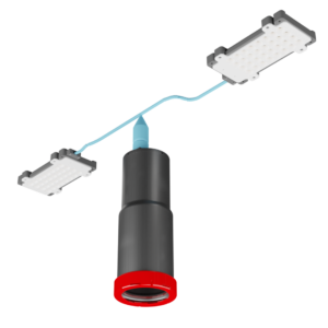
THE CATHX SENTRY is a powerful imaging system designed for towed frames and small ROV’s to acquire superb visual data when conducting underwater surveys.
The SENTRY captures motion-blur-free images at speeds of up to 5 knots through the intelligent combined use of camera technology and high-powered LED strobe lights.The high-resolution visual data acquired by the SENTRY can be proccessed with CATHX processing software and enhanced with 3rd party photogrammetry software providing comprehensive and robust visual data of subsea surveys.
CONTACT US
Single Sensor Imaging System Delivering Unrivalled Visual Data
Single-swath system for small ROVs delivering industry-leading high resolution still images.
Technical Features
SUPERB IMAGING & MEASUREMENT
- Stills imaging – UHD stills resolution of 4096 x 2304 pixels up to 7 fps. HD stills resolution 2048 x 1152 up to 30 fps.
LARGE OPERATIONAL RANGE
- Operational heights of 1 to 7 meters (depending on light configurations)
- 1:1 swath to height ratio, single-swath system, with swaths of up to 7 meters possible
HIGH PRECISION OUTPUTS
- High-resolution still enables millimetre precision. The system operates at distances up to 7 metres and speeds of 5 knots.
Efficiencies
TRACK DATA YEAR-ON-YEAR
- Time-stamped, geotagged, and other sensor information is stored in the image EXIF, enabling year-on-year change analysis.
REDUCED OPERATION TIMES
- CATHX FDI® data capture methodology enables non-stop, high-speed operations, delivering time and cost efficiencies.
SUPERB VISUAL DATA QUALITY
- High Definition Images with no motion blur and reduction in the effects of marine snow.
EXPLORE SYSTEM
Click and drag the 3D model for a 360° rotation.
This system is an image only inspection system.
Product Features
- Ideal for small vehicle survey operators
- Ease of integration on fast-moving towed vehicles
- Captures high-quality images where motion blur is eradicated
- Reduces the effect of marine snow/debris in the water column
- Improves event classification and counting through the high pixel resolution
- Geo tagged, timestamp and other survey information are stored with the data to support year-on-year reviews
- Access to industry-leading subsea imaging systems at an affordable cost
DOWNLOAD PRODUCT TECHNICAL DATASHEET
Click on the button below to download a full technical product specification for the CATHX SENTRY.
DOWNLOAD DATASHEET

CONTACT US
Fill out the form below to arrange a demonstration of how the SENTRY can help you acquire the information you need – faster, safer and for less cost.