 --!
--!
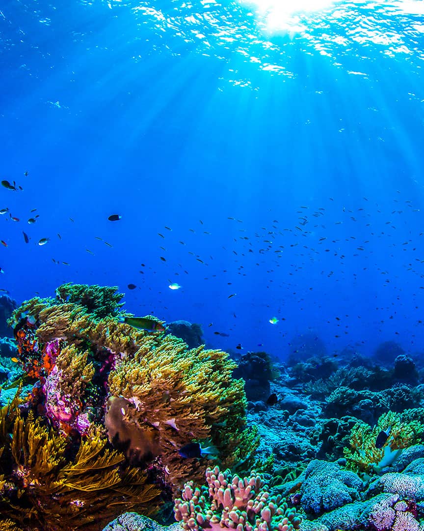
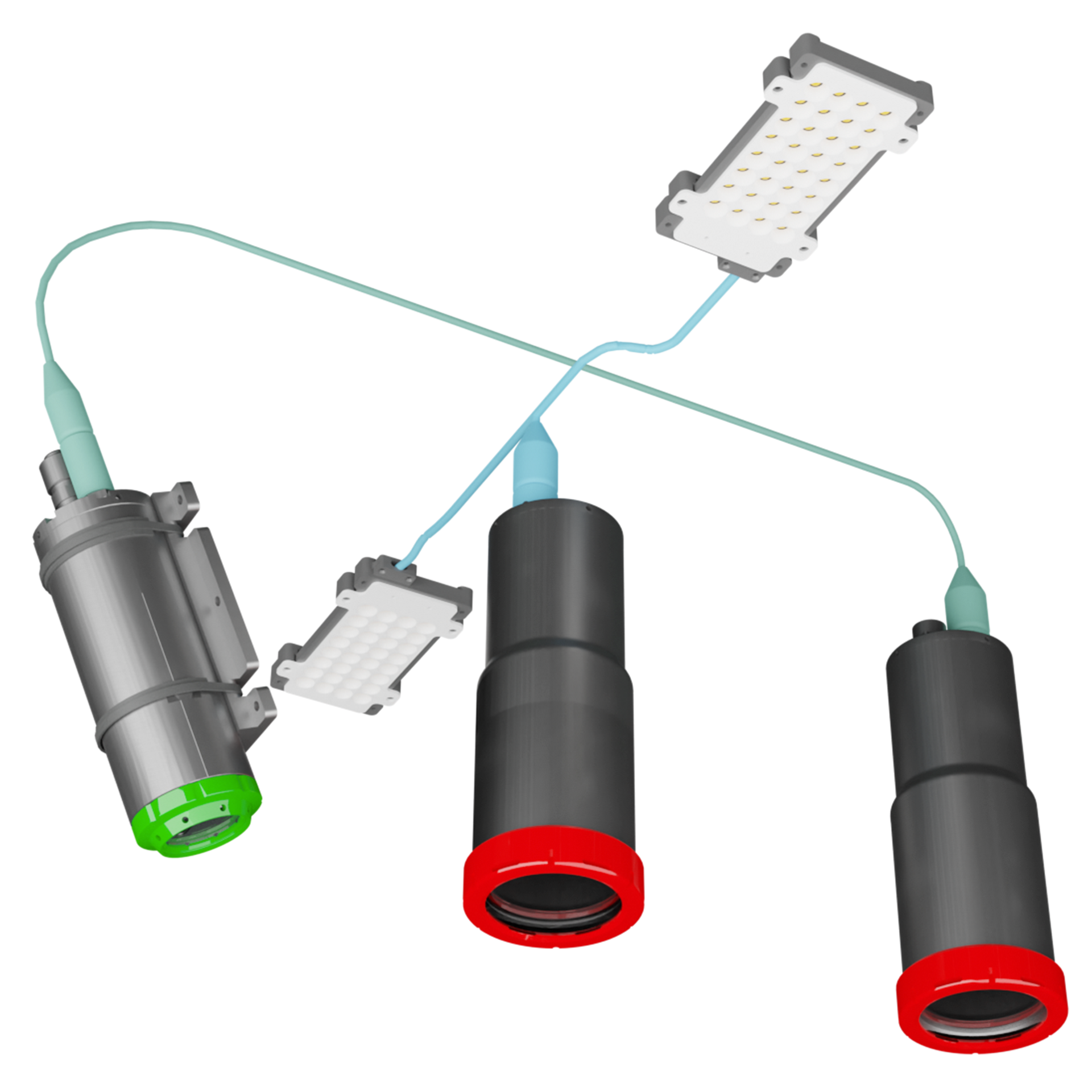
CATHX FDI® SEABED can be deployed across a wide range of ROVs, AUVs and ROTVs to conduct a wide range of optical surveys on man-made assets, organic life, or area surveys of the seafloor. The accurate visual representations produced of seabed environments and man-made assets provide powerful information for scientific research, environmental surveys and asset integrity.
FAST DIGITAL INSPECTION FOR SEABED
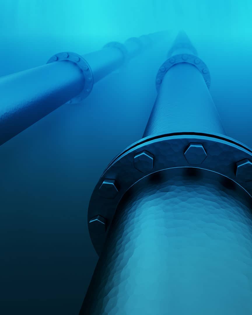
CATHX FDI® SEABED (Fast Digital Inspection) is an underwater visual data acquisition technique that captures large lengths of subsea pipelines and cable runs as well as large areas of seabed at speed. Producing sharp, high-quality images supported by accurate laser measurement data that enables asset owners to carry out inspections safely onshore.
CONTACT US
KEY FEATURES & BENEFITS OF CATHX FDI® SEABED
6 TIMES FASTER THAN CONVENTIONAL SURVEYS
The continuous data acquisition methodology used by CATHX visual systems reduces the acquisition time of a seabed survey to 6 days compared to a conventional survey of 36 days.
ACQUIRE QUALITY VISUAL & MEASUREMENT DATA
Capture clear, sharp, balanced Ultra High Definition (UHD) images and accurate laser measurement data at speed.
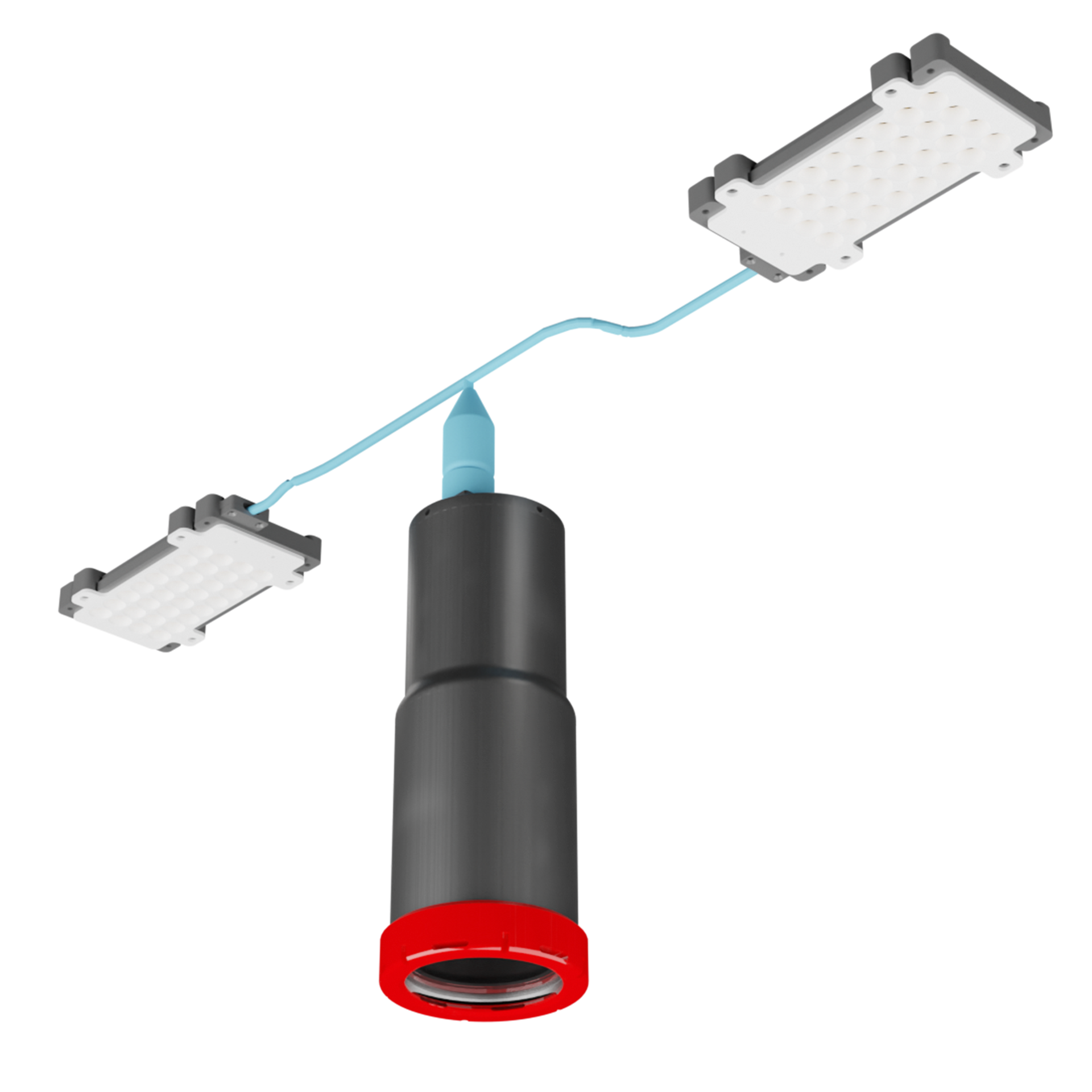
DEVELOPED FOR ROV’S AND AUVS
CATHX FDI® systems are developed to easily integrate and be compatible with all ROVs and AUVs on the market.
SUITABLE FOR A WIDE RANGE OF SEABED APPLICATIONS
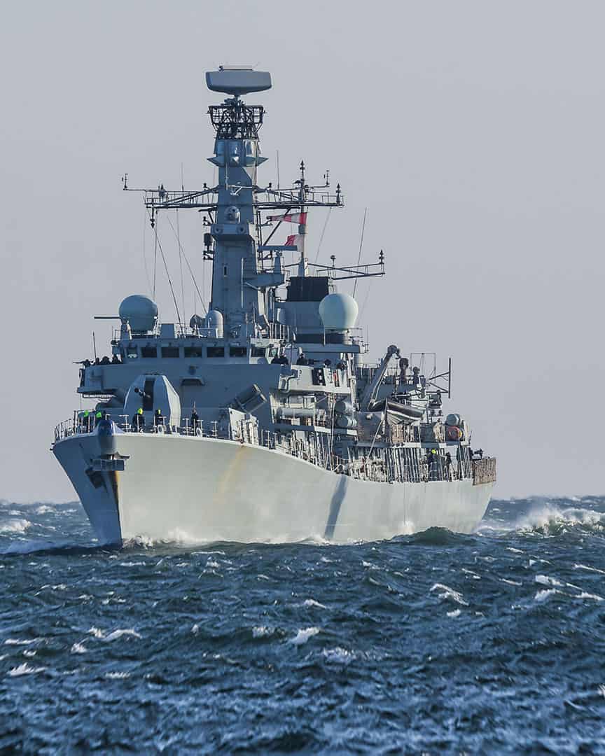
Including Oil and Gas Pipelines, Electrical & communications cables, Windfarms, Marine Environments, Subsea Mining, Defence, Law Enforcement and Fisheries.
REDUCING COSTS
CATHX FDI® SEABED reduces the time required and the number of resources required at every stage of survey expeditions substantially reducing the operational costs.
REDUCED CO2
The efficiencies brought by using the CATHX FDI® SEABED can reduce the amount of carbon expelled during the course of a survey expedition by up to 80%.
REDUCES HSE RISK
The CATHX FDI®SEABED technique requires fewer people to be on the boat during acquisition as it simplifies mobilisation, streamlines acquisition and moves the inspection onshore.
MULTIPLE PERSPECTIVES OF THE SAME EVENT
Gain as much knowledge as possible through the numerous high quality data deliverables such as UHD Imagery, 3D Colour Point clouds, and much more.
APPLICATIONS FOR CATHX FDI® SEABED
DATA DELIVERABLES
The unique data CATHX FDI® imaging and measurement systems acquire enables the digitization and visualisation of seabed assets in 2D and 3D outputs that do not require feature matching photogrammetry.
CASE STUDIES
DO YOU WANT TO FIND OUT MORE ABOUT CATHX FDI® SEABED?
Fill out the form below.